AUSTIN, Texas — A cold front pushed through Central Texas on Tuesday afternoon. There was no rain associated with it but it did help bring cooler weather.
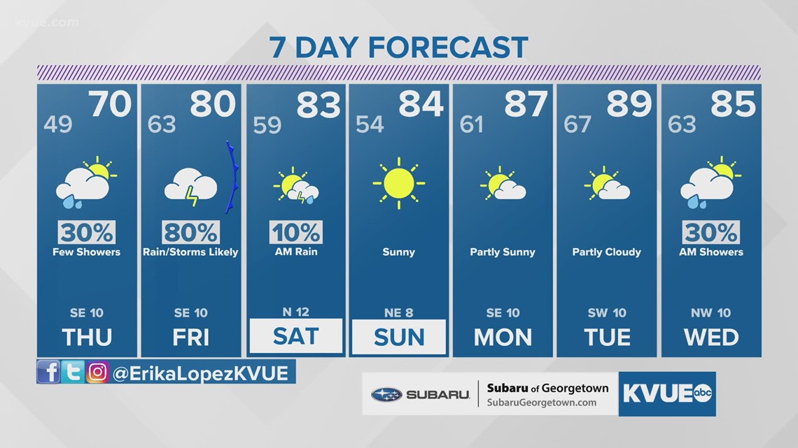
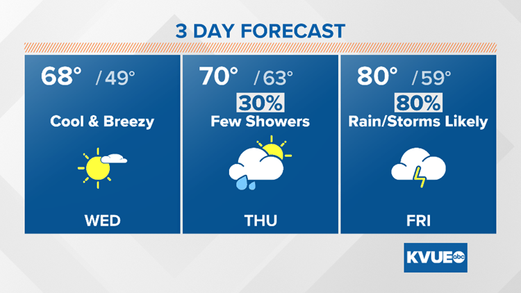
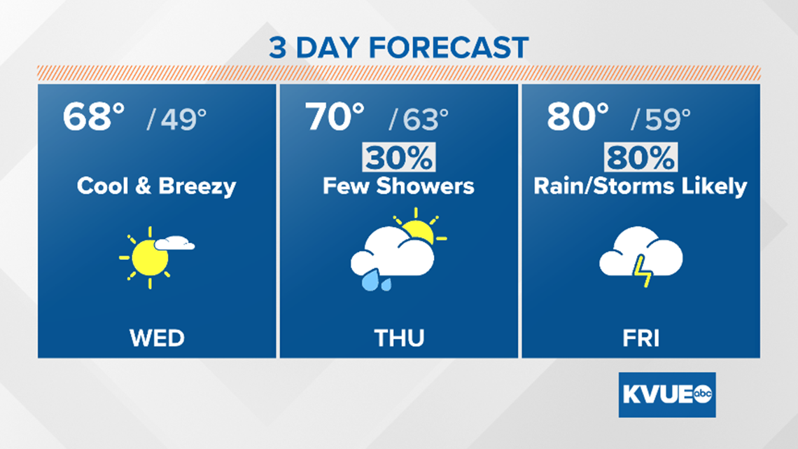
Highs warm up to the upper 60s by Wednesday afternoon, and the warming trend will continue into the weekend. We'll transition pretty quickly from a winter chill to springtime strong to severe storms by Friday.

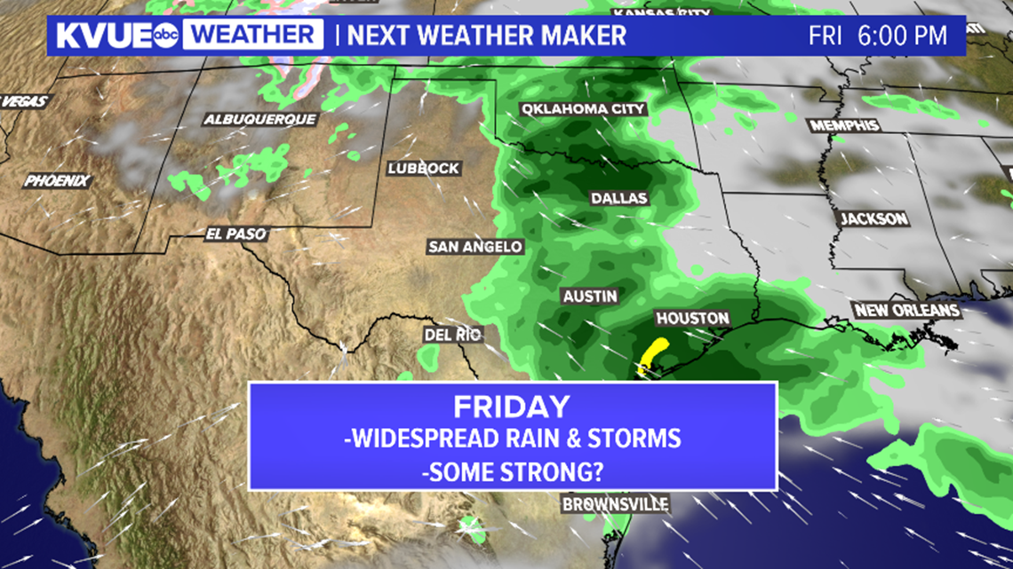
Second system brings rain and storms for late week
Although the first system of the week failed to deliver rain, it looks like that won't be the case with system No. 2 on Friday.
Rain chances will return to the forecast by late Thursday with a few isolated showers and storms possible, and then widespread rain and storms are likely on Friday.
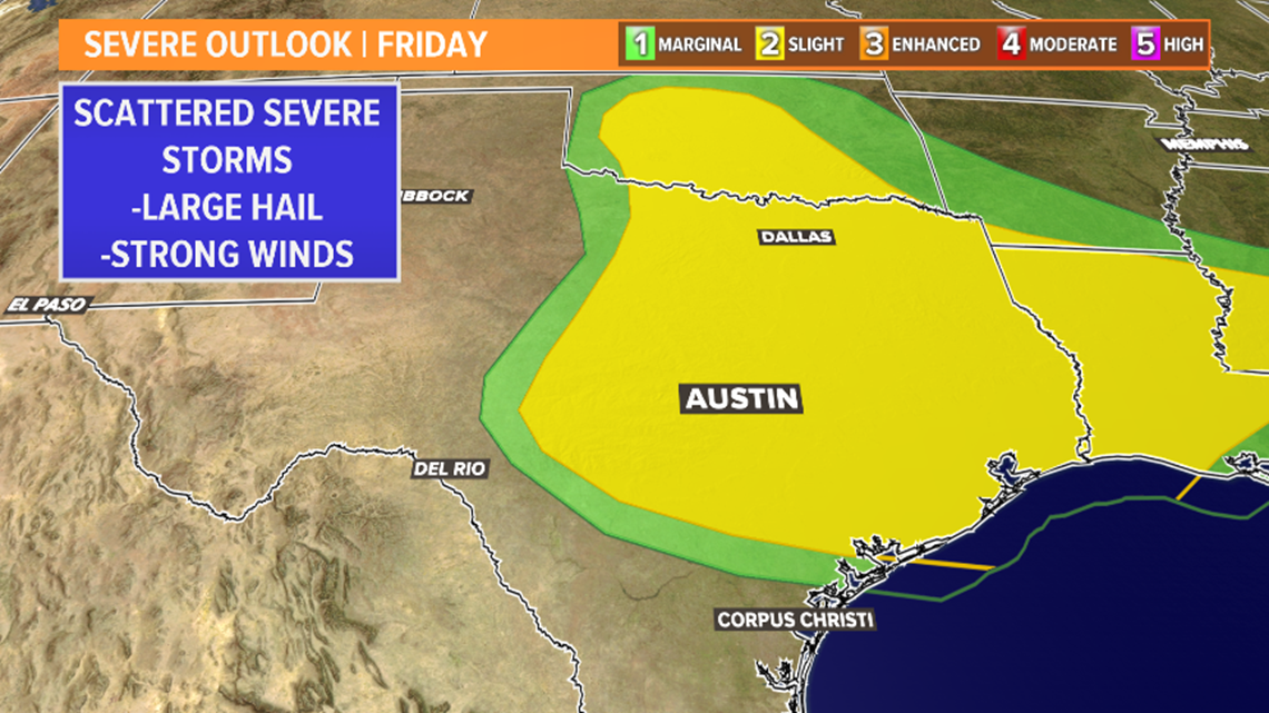
There is still time for the forecast to change, but it's possible that a few stronger storms could develop on Friday. The main concerns with these storms would be the potential for hail and strong wind although an isolated tornado cannot be ruled out.

The forecast models are beginning to come into agreement with the passage of a dryline to our north before the cold front on Friday afternoon and evening. As a result, the Storm Prediction Center has placed Central Texas under a slight (2/5) risk for strong to severe storms.

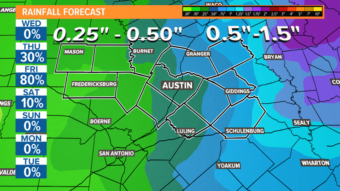
Rainfall totals have trended higher for the next seven days. We're now expecting totals generally between one-quarter of an inch and an inch, with the highest totals east of Austin.

The KVUE Storm Team will continue to monitor this developing forecast.
After the threat for severe weather, a sunny and warm weekend is ahead.
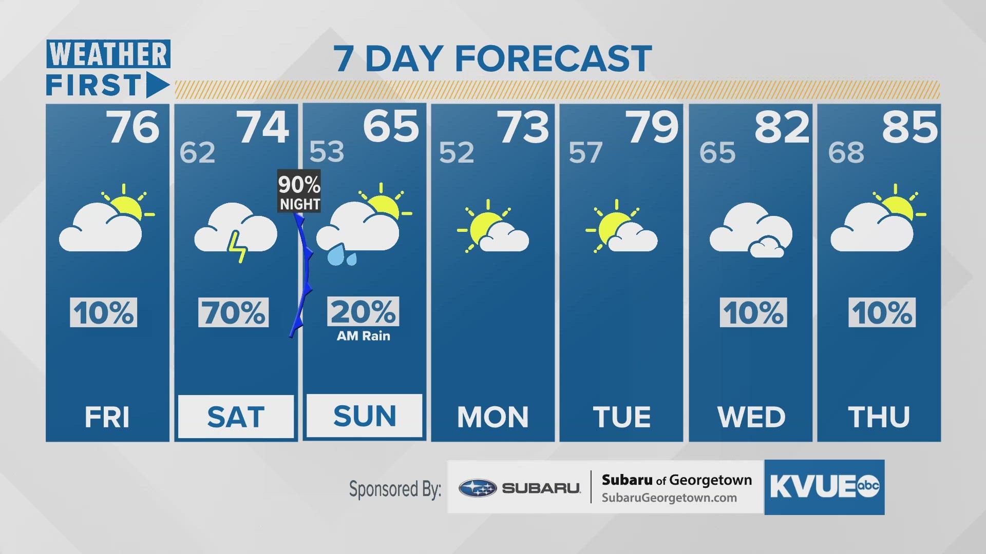
In the meantime, the extended forecast can be found below: