
AUSTIN -- It's that time of year.
Another chance for stormy weather looks to roll into Central Texas and the Austin area Tuesday afternoon into the evening.
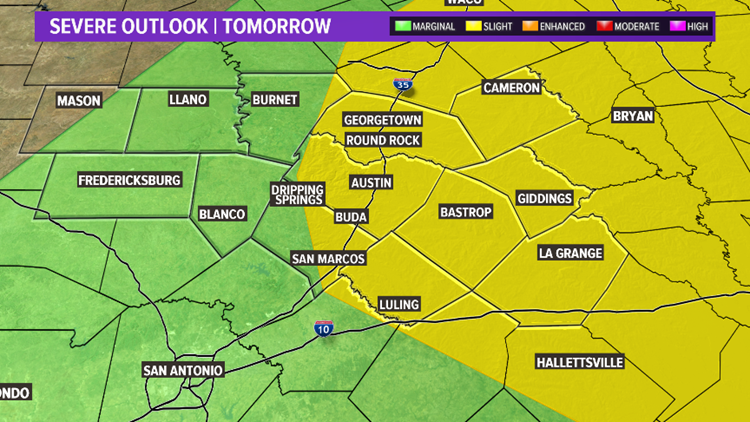
The biggest risk with these storms are strong winds above 50 mph and hail the size of quarters or larger.
The Storm Prediction Center has outlined most of our area in a "Slight Risk" for severe thunderstorms represented in yellow on the map. The rest of Central Texas is under a "Marginal Risk'"in green, which is a lower risk.

Much of Tuesday will actually be quiet and dry.
For the morning, besides an isolated light shower, no wet weather is expected.

A few scattered showers and storms will be possible for the late afternoon out ahead of the cold front.
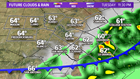
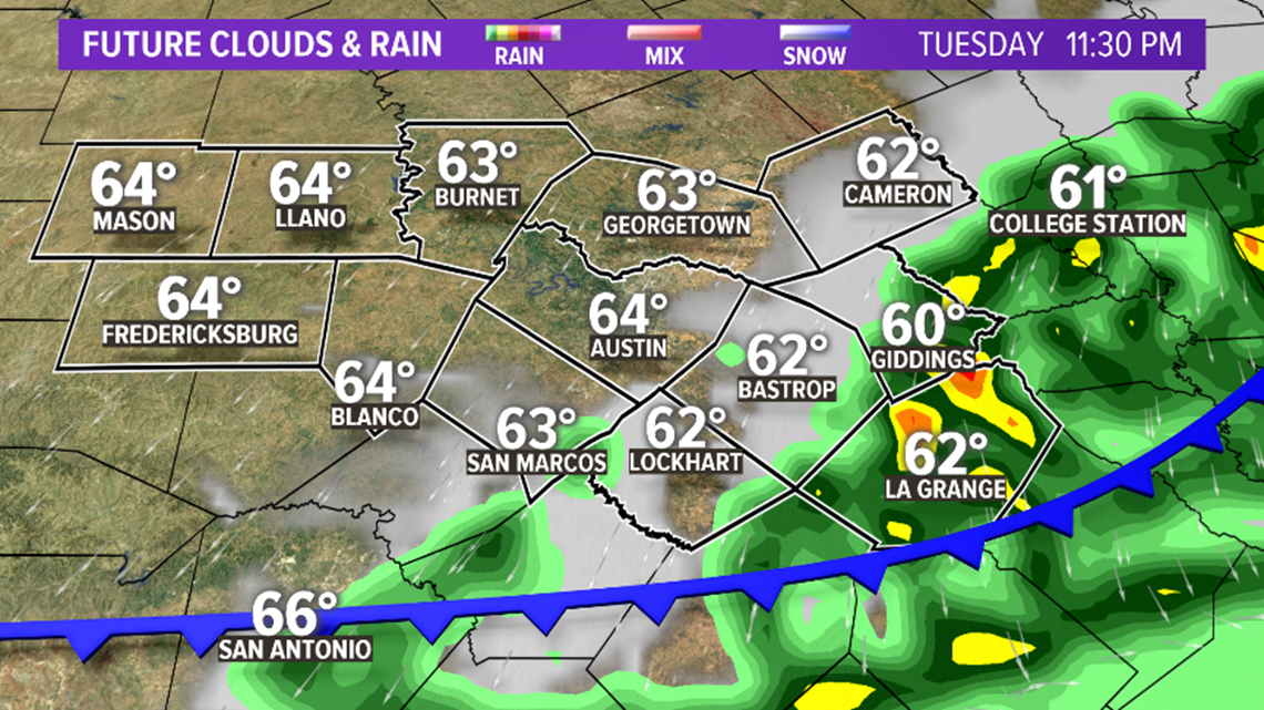
However, Tuesday evening between 7 p.m. and 12 a.m. will be the best timeframe for storms around Central Texas as the cold front moves through.
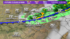

Heavy rain, lightning, strong winds and hail will all be possible with these thunderstorms. Eventually they will push towards areas east of Austin before midnight.
By overnight, the stormy weather should be well east of Central Texas. And for sunrise Wednesday, we'll wake up to bright blue skies and chilly temperatures in the 40s and 50s.
Stay with KVUE for the latest updates on potential severe weather.
